📍 Stop 3: July 12 – 19 | Andermatt, Uri, Switzerland
Airbnb: Apartment in Andermatt — Julie
Vibe: Heart of the Swiss Alps at the Gotthard crossroads — gorges, glaciers, alpine passes, and the source of the Rhine
📅 Daily Itinerary: July 12 – 19
Travel days (July 12 & 19) are light. Six full exploration days in between.
🗓️ Day 1: July 12 — Travel Day (Wildhaus → Andermatt)
🚗 Travel only: Arrive from Wildhaus (~2.5 hr drive). Check in, stock up on groceries, rest. Optional short village stroll if energy allows.
You roll into Andermatt after roughly two windshield hours from Wildhaus—enough audiobook drama to recap out loud whether you liked it or not. Check-in groceries mean nobody hunts cheese at hanger o'clock thirty. Treat today like plugging in controllers: hydrate, munch, flop—optional village wander only if ankles still itch to move.
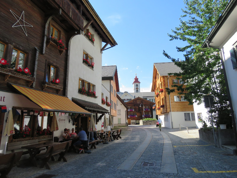 📍 Andermatt
🗓️ Day 2: July 13 — Devil's Bridge & Schöllenen Gorge
☕ Morning Coffee: Hotel 3 Könige & Post in Andermatt before the gorge walk.
Fuel up beside Andermatt's bustle before zigzagging toward the gorge—warm breads and steady proteins turn wiggly ropes-course energy into manageable hiking manners. Peek at postcards in your head imagining how narrow the gorge really gets. Sip slowly; adrenaline ahead tastes better on full stomach alliances.
 📍 Google Maps
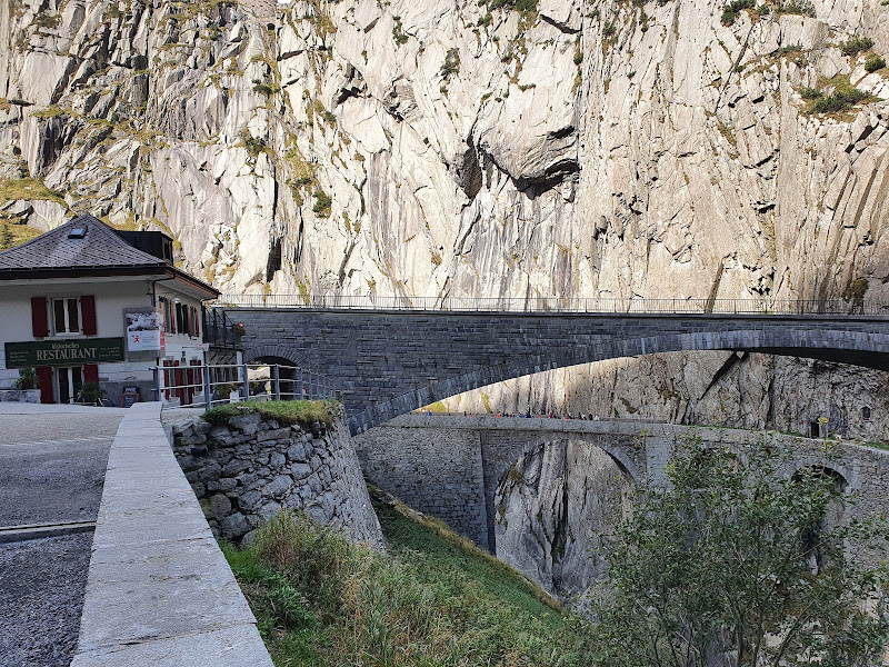
🏔️ Focus Site: Teufelsbrücke (Devil's Bridge) — dramatic Schöllenen Gorge where the Reuss river thunders through limestone cliffs.
The Teufelsbrücke spans the Schöllenen Gorge where the Reuss river crashes through a narrow limestone canyon. Legend says the devil built it in exchange for the first soul to cross — a local goat tricked him. The gorge walk takes 20–30 minutes and the rock walls are genuinely dramatic. One of Switzerland's most famous short hikes.
 Approach:
 Walk or short drive from Andermatt, 20–30 min gorge circuit with Suvorov Monument.
🥾 Trail Info |
📍 Google Maps
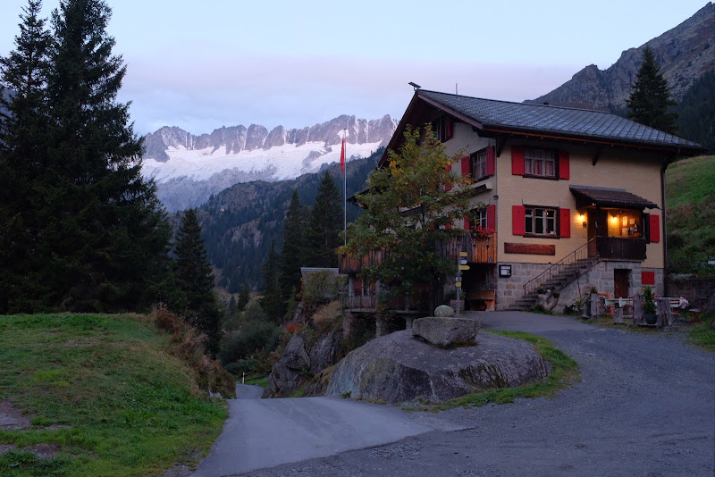
🍽️ Lunch: Gasthaus Göscheneralp in Göschenen — hearty Swiss lunch after the Devil's Bridge gorge walk.
The Teufelsbrücke spans the Schöllenen Gorge where the Reuss river crashes through a narrow limestone canyon. Legend says the devil built it in exchange for the first soul to cross — a local goat tricked him. The gorge walk takes 20–30 minutes and the rock walls are genuinely dramatic. One of Switzerland's most famous short hikes.
 📍 Google Maps
🚶 Afternoon: After lunch, stop at Häderli Bridge on the gorge road back toward Andermatt — a 17th-century stone arch spanning the Reuss with dramatic views straight down into the canyon (parking pull-off, ~10-minute walk).
Post-lunch detour paints a postcard from the 1600s: Häderli Bridge arches limestone over roaring Reuss just minutes from parking pull-offs. Peer down—carefully—for stomach-flip canyon math that beats flashcards. Adults love history labels; kids love counting how echoes bounce off gorge walls competing for loudest yell.
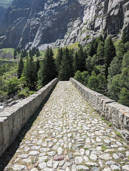 📍 Häderli Bridge
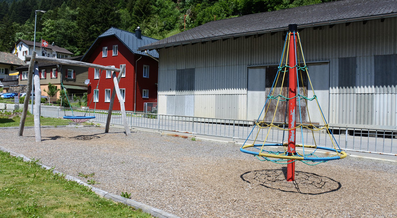
🎪 Evening Playground: Göschenen village playground near the gorge entrance.
Gorges go vertical and stern; playgrounds stay squishy, bright, forgiving—perfect polarity near Göschenen. Burn last zoomies swinging before spooky echoes or decompress spinning after tight paths. Negotiate timed rounds so nobody skips either adventure chapter.
 📍 Google Maps
🗓️ Day 3: July 14 — Göscheneralp Water Route
☕ Morning Coffee: Bahnhofbuffet Andermatt — coffee before the Göscheneralp drive.
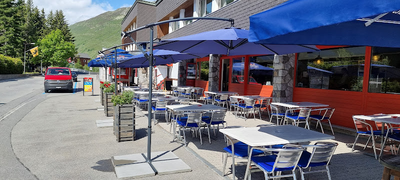
A high alpine valley above Göschenen with a massive reservoir dam, glacier views, and some of Uri canton's best hiking. The road up is an adventure itself. Popular with Swiss families but barely known to international tourists.
 📍 Google Maps
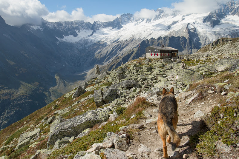
🏔️ Focus Site: Göscheneralp Water Route — 15 interactive stations about glaciers, water, and alpine geology with QR-code puzzle game for kids.
A family theme trail with 15 interactive stations about water, glaciers, and alpine geology along the Göschener river. Kids scan QR codes for a puzzle game with a prize at the end. About 3 hours uphill, 2 down — educational without feeling like school.
 Approach:
 15-minute drive from Andermatt to Göschenen, then valley road to trail start.
💧 Water Route |
📍 Google Maps
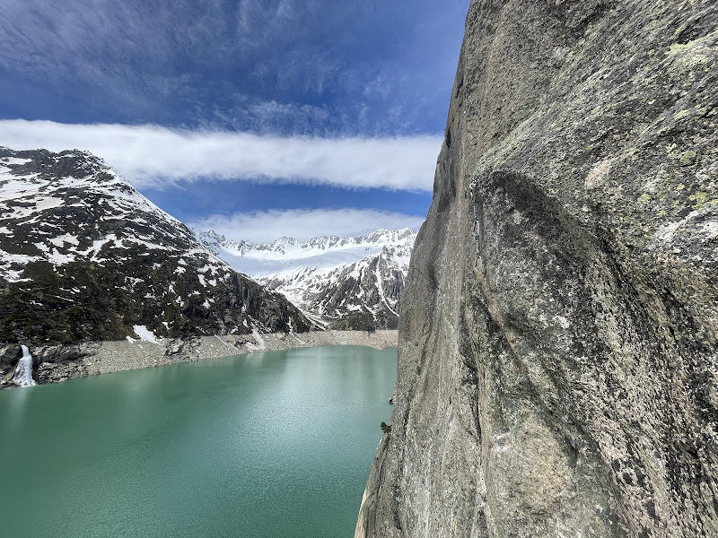
🍽️ Lunch: Berggasthaus Dammagletscher at the reservoir dam — alpine lunch with glacier views.
Lunch docks beside glacier theater at Dammagletscher—reservoir dams look industrial until mountains stage-dress them ridiculously pretty. Spoon steam, crunch salad, stare at icy blue spoilers above treeline pretending you're scientists. Celebrate anyone tasting a daring alpine dish beside familiar buttered noodles diplomacy.
 📍 Google Maps
🎪 Evening Playground: Quiet evening in Andermatt after the long water-route hike — early dinner and rest at the Airbnb.
Water-route hiking stacks mini lessons per bend—splashy shoes, triumphant leaps, souvenir-level photos. Quieter Andermatt evening trades neon excitement for slippers, leftovers, sleepy card games respecting neighbors. Sleeping early earns tomorrow's tram rides without cranky subplot.
📍 Google Maps
🗓️ Day 4: July 15 — Gemsstock Cable Car
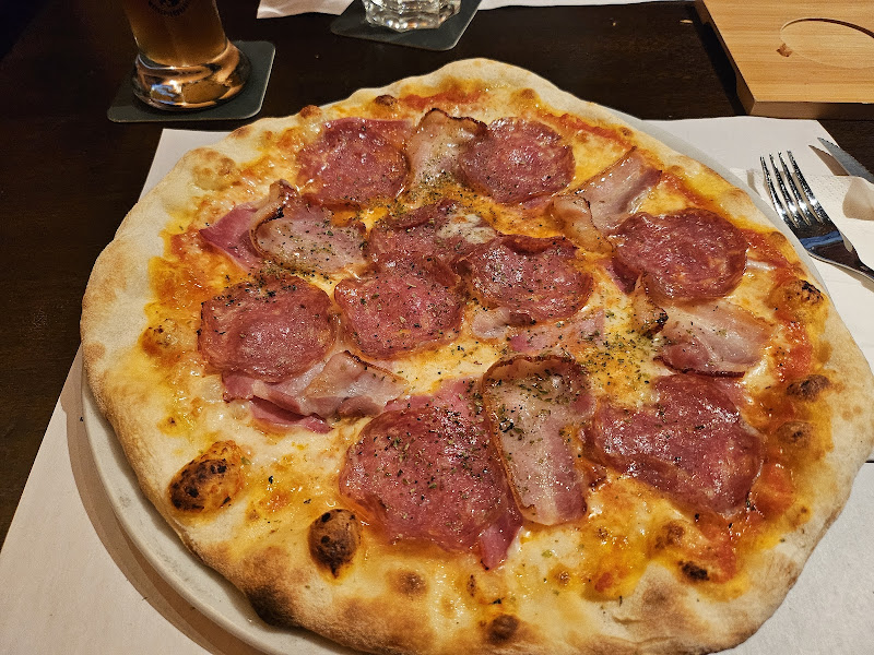
☕ Morning Coffee: Spycher Young Gastro in Andermatt before the Gemsstock cable car.
Andermatt's local mountain at 2,961 m — cable car from town, no long drive needed. The summit looks straight into the Gotthard massif and the views of the Urseren valley are sweeping. Less crowded than better-known peaks, with a restaurant at the top.
 📍 Google Maps
🏔️ Focus Site: Gemsstock (2,961 m) — cable car to Gurschen with panoramic views of the Gotthard massif and Urseren valley.
Andermatt's local mountain at 2,961 m — cable car from town, no long drive needed. The summit looks straight into the Gotthard massif and the views of the Urseren valley are sweeping. Less crowded than better-known peaks, with a restaurant at the top.
 Approach:
 Gemsstock cable car from Andermatt center (~10 min walk).
🏔️ Official Site |
📍 Google Maps
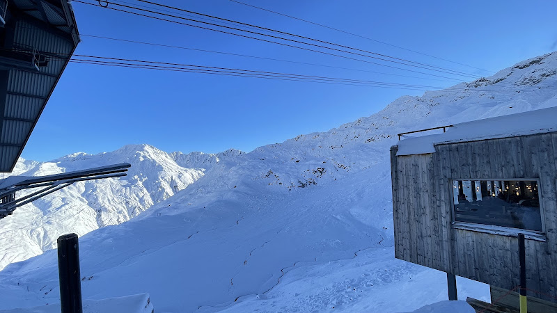
🍽️ Lunch: Restaurant Gurschen at the summit — Swiss classics with 360° alpine panorama.
Gemsstock summit cafeteria energy hits different—Swiss staples spin around you while panorama windows audition as IMAX substitutes. Quiz each other pretending peak names quiz show—wrong answers still munch cheese respectfully. Clouds parting earns dessert double points when grown-ups authorize.
 📍 Google Maps
🚶 Afternoon: Easy summit walk and photo stops, then descend for Andermatt old town stroll and souvenir shopping.
Soft summit loops mean giggly photo freezes without marathon elevation guilt. Sliding downslope toward timberline unlocks souvenir missions—budget badges, postcards, magnets nobody needs but everybody loves debating. Bargain peaceful purchases now so tomorrow's glacier-colored dreams stay drama-light.
📍 Google Maps
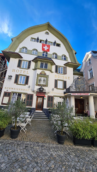
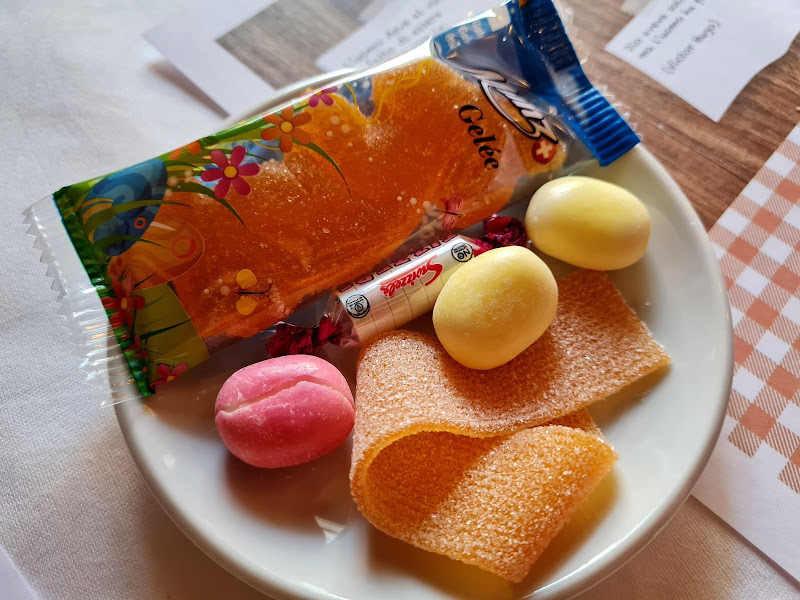
🍽️ Dinner: Restaurant Schweizerhof in Andermatt old town — classic Swiss dining after the Gemsstock descent.
Andermatt's local mountain at 2,961 m — cable car from town, no long drive needed. The summit looks straight into the Gotthard massif and the views of the Urseren valley are sweeping. Less crowded than better-known peaks, with a restaurant at the top.
 📍 Google Maps
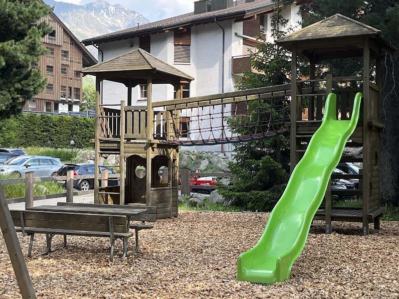
🎪 Evening Playground: Andermatt Holiday Park adventure playground.
The resort area's main adventure playground with climbing structures and zip elements — a reliable evening stop after mountain days when the kids still have energy to burn.
 📍 Google Maps
🗓️ Day 5: July 16 — Oberalp Pass & Lake Toma (Rhine Source)
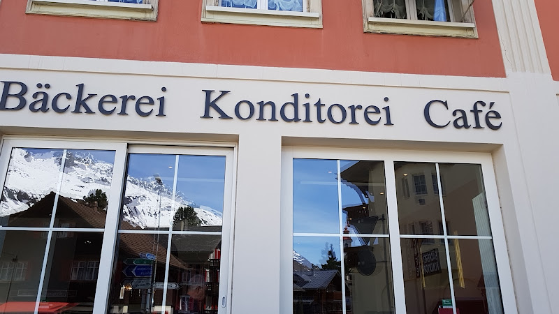
☕ Morning Coffee: Bäckerei Café Oberalp on Oberalp Pass — coffee before the Lake Toma hike.
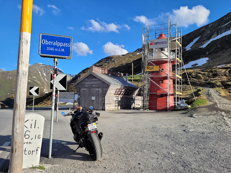
A 2,044 m mountain pass on the Glacier Express route, open in summer. The Rhine source lighthouse monument sits here, and the drive up from Andermatt is spectacular. Also the winter home of the famous "snow bunny" ski trail markers.
 📍 Google Maps
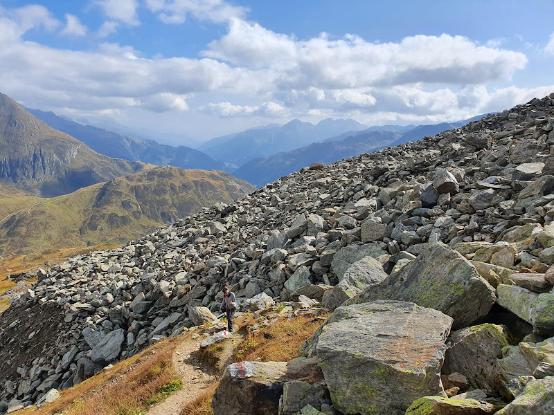
🏔️ Focus Site: Lake Toma (Tomasee) — the official source of the Rhine at 2,345 m, a crystal-clear alpine lake surrounded by peaks.
The official source of the Rhine river — a small crystal-clear alpine lake at 2,345 m. You hike about 1.5 hours from Oberalp Pass to reach it, and there's something satisfying about standing where a major European river begins. The surrounding high-alpine landscape is the real star.
 Approach:
 30-minute drive over Oberalp Pass, then 1.5 hr family hike from the pass.
📍 Google Maps
🍽️ Lunch: Leuchtturm Rheinquelle on Oberalp Pass — lunch at the Rhine source monument.
A 2,044 m mountain pass on the Glacier Express route, open in summer. The Rhine source lighthouse monument sits here, and the drive up from Andermatt is spectacular. Also the winter home of the famous "snow bunny" ski trail markers.
 📍 Google Maps
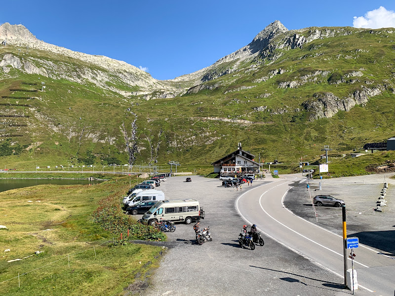
🚶 Afternoon: Visit the Rhine Source lighthouse monument, then scenic drive back via Oberalp Pass viewpoints.
A 2,044 m mountain pass on the Glacier Express route, open in summer. The Rhine source lighthouse monument sits here, and the drive up from Andermatt is spectacular. Also the winter home of the famous "snow bunny" ski trail markers.
 📍 Oberalp Pass
🎪 Evening Playground: Relaxed evening after Oberalp Pass — early dinner and rest at the Airbnb.
A 2,044 m mountain pass on the Glacier Express route, open in summer. The Rhine source lighthouse monument sits here, and the drive up from Andermatt is spectacular. Also the winter home of the famous "snow bunny" ski trail markers.
📍 Google Maps
🗓️ Day 6: July 17 — Göscheneralp Reservoir Circuit
☕ Morning Coffee: Restaurant Biselli in Andermatt — bakery coffee before the Göscheneralpsee reservoir hike.
The reservoir circuit is one of the most popular hikes in central Switzerland — about 3–4 hours around a turquoise alpine lake with glacier backdrops and moorland. Uri canton has voted it best hike multiple times. Doable for fit 8–11 year olds with breaks.
 📍 Google Maps
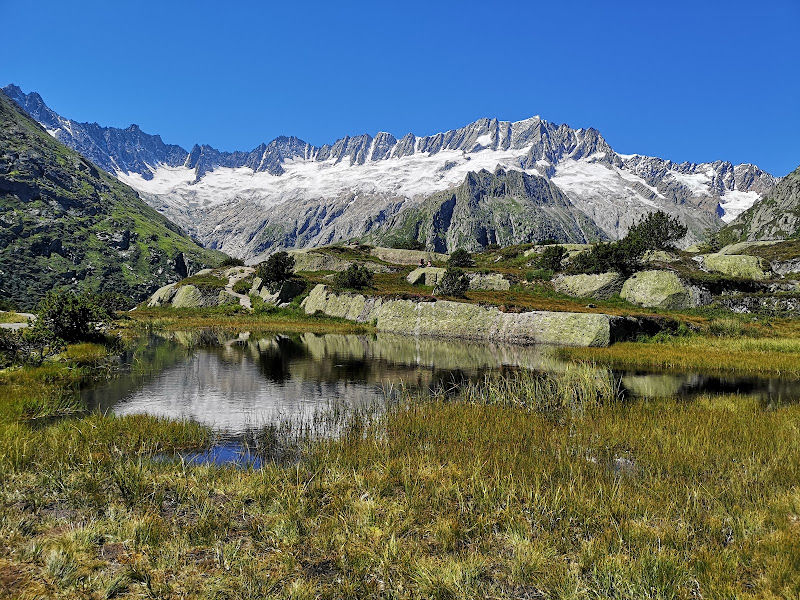
🏔️ Focus Site: Göscheneralpsee reservoir circuit — one of Uri's most popular hikes through glacier country and moorland.
The reservoir circuit is one of the most popular hikes in central Switzerland — about 3–4 hours around a turquoise alpine lake with glacier backdrops and moorland. Uri canton has voted it best hike multiple times. Doable for fit 8–11 year olds with breaks.
 Approach:
 Drive to Dammagletscher inn, cross the dam, 3–4 hr family loop around the lake.
🥾 Trail Info |
📍 Google Maps
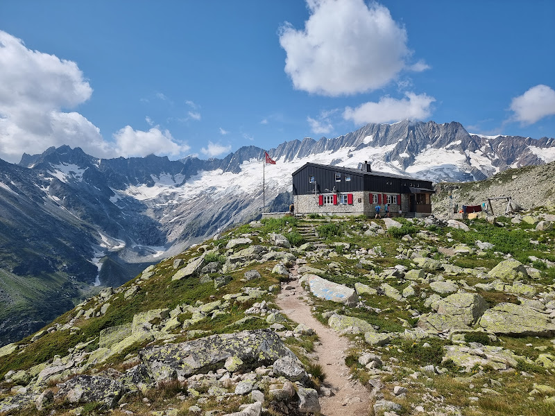
🍽️ Lunch: Berggasthaus Dammagletscher — alpine lunch mid-hike around Göscheneralpsee.
The reservoir circuit is one of the most popular hikes in central Switzerland — about 3–4 hours around a turquoise alpine lake with glacier backdrops and moorland. Uri canton has voted it best hike multiple times. Doable for fit 8–11 year olds with breaks.
 📍 Google Maps
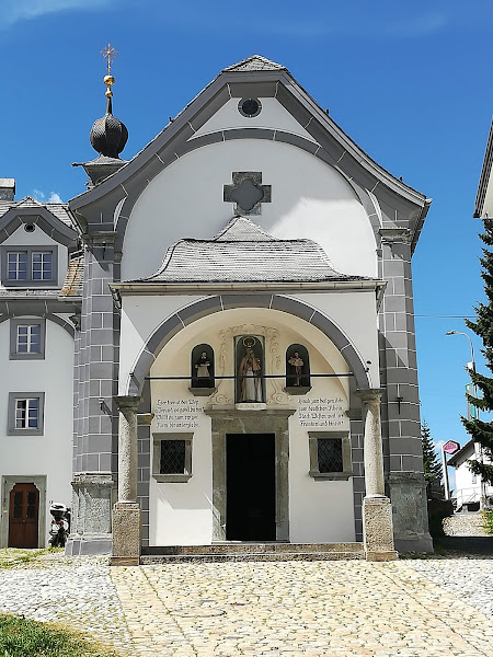
🎪 Evening Playground: Hospental village green — gentle play space after the reservoir circuit.
The reservoir circuit is one of the most popular hikes in central Switzerland — about 3–4 hours around a turquoise alpine lake with glacier backdrops and moorland. Uri canton has voted it best hike multiple times. Doable for fit 8–11 year olds with breaks.
 📍 Google Maps
🗓️ Day 7: July 18 — Gotthard Pass Summit Day
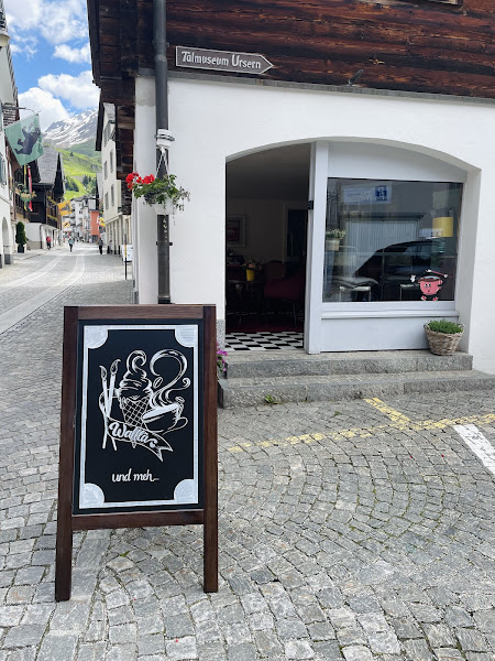
☕ Morning Coffee: Mundart Café in Andermatt — coffee before the scenic drive up to the pass.
Mundart fills mugs before curling switchbacks hypnotize sleepy passengers uphill—coffee for captains, hot chocolate treaties for rookies scouting sugar levels. Peek at murals or slang menus giggling pronunciation experiments. Sip-and-stretch ritual prevents car-seat groans climbing toward thin-air theatrics ahead.
 📍 Google Maps
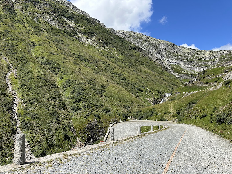
🏔️ Focus Site: Gotthard Pass (2,106 m) — legendary alpine crossing with snow walls, summit monument, and meadow trails above the tree line.
The legendary alpine crossing at 2,106 m — snow beside the road even in summer, a summit monument, and short meadow walks above the tree line. Dramatic drive from Andermatt, no museum required.
 Approach:
 30-minute scenic drive from Andermatt via Hospental to the pass summit parking.
📍 Google Maps
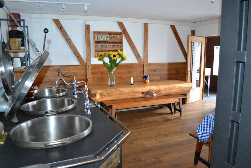
🍽️ Lunch: Hotel Passo San Gottardo at the summit — rösti and soup with alpine views at the top of the pass.
Rösti and soup perched literally atop Gottardo's roofline taste earned even if cable cars did elevator duty earlier. Jacket hoods flap, spoons steam selfies, multilingual chatter swirls cafeteria air like friendly weather. Celebrate crossing high passes with napkins tucked proudly like expedition flags.
 📍 Google Maps
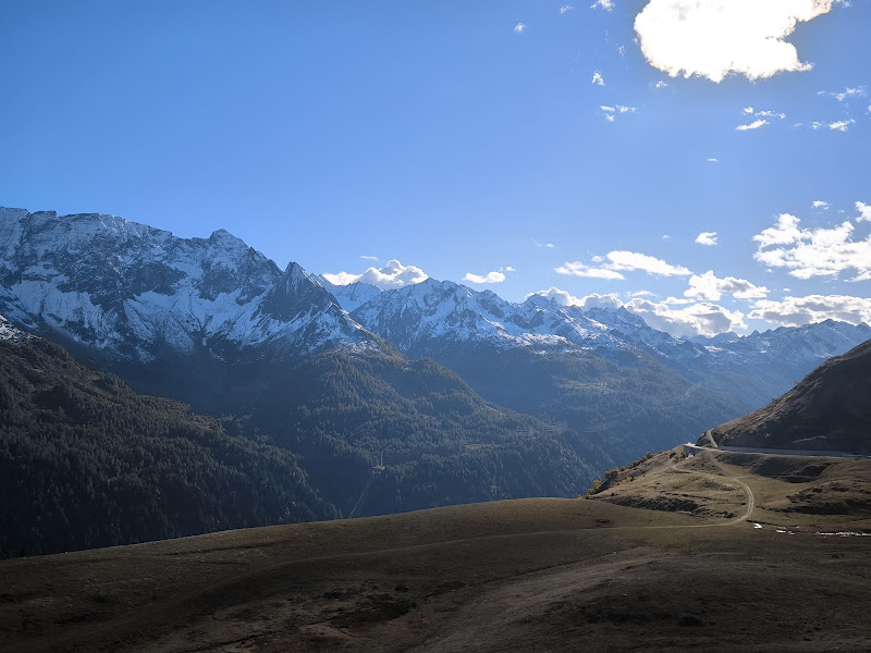
🚶 Afternoon: Short summit walks around the pass, stop at Chiosco Panorama viewpoint on the drive down, gelato back in Andermatt.
Short alpine wanders soften legs before Chiosco Panorama selfies prove Switzerland engineered overlooks for postcards. Sliding downhill melts altitude buzz until Andermatt gelato rewires sugar sensors city kids recognize instantly. Vanilla versus chocolate alliances become day's peaceful treaty signing.
 📍 Chiosco Panorama
🎪 Evening Playground: Early evening packing at the Airbnb — tomorrow is a short move to Iseltwald.
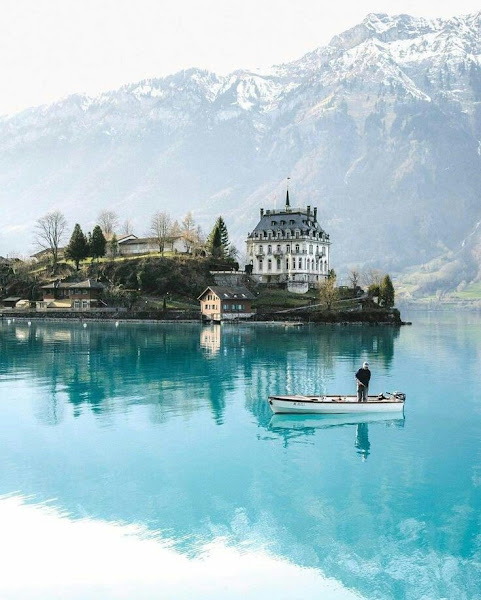
Packing evenings feel blah until framed as leveling up—chargers zipped, swimsuits prioritized, plushies vetoed diplomatically tomorrow morning. Mention turquoise Lake Brienz softly as teaser trailer: shorter drive than alpine mega-hops, fresher lakeside moods. Sleep knowing zipped bags earn bragging pancakes next sunrise.
🗓️ Day 8: July 19 — Travel Day (Andermatt → Iseltwald)
🚗 Travel only: Check out, drive to Iseltwald (~2 hours via Lucerne and Interlaken). Short hop compared to other moves — aim to arrive by midday and unpack.
Final Andermatt checkout threads roughly two lake-bound hours—manageable after alpine mega drives. Aim midday unpacking so daylight reveals Brienz sparkles greeting new bedrooms. Celebrate gentle travel days aloud; kiddos remember calm bridges between adventures vividly.
 📍 Iseltwald